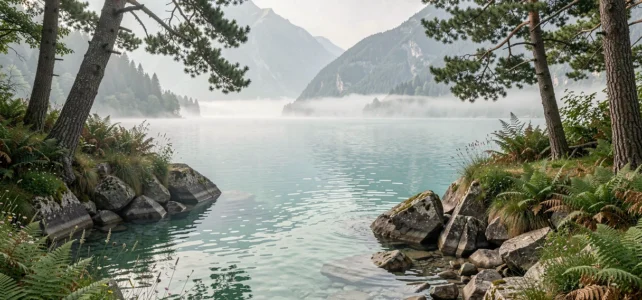
The Bourget Lake stretches between the Bauges massif and the Épine mountain range, forming the largest natural lake in France. Its shores are not limited to the developed beaches of Aix-les-Bains or Bourget-du-Lac. Part of the coastline, especially on the west bank, remains roadless and is only accessible by water or steep trails. It is these isolated portions that house the least frequented coves of the lake.
West bank of Bourget Lake: why some coves remain isolated
The geography of the west bank alone explains the wild character of its coves. The Dent du Chat and its foothills plunge directly into the lake, leaving no room for a continuous coastal road. In several sections, the limestone cliff drops steeply into water that becomes deep just a few meters from the shore.
This configuration creates a natural filtering effect. Families and occasional bathers head towards the east bank, which is better served and equipped. The coves on the west bank attract those who are willing to walk, paddle, or navigate to reach a pebble-strewn corner wedged between two rocky outcrops.
Searching for a wild cove of Bourget Lake on the west bank requires spotting access points upstream: some trails descend from the balcony road that overlooks the lake, but they are steep, sometimes slippery, and rarely clearly marked.
Walking access to the coves: the ‘Au fil de l’eau’ trail and its constraints
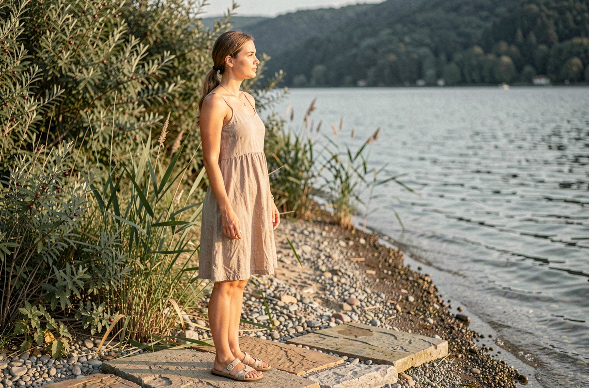
The “Au fil de l’eau” trail, which connects the Mémard area to the tip of Ardre, is one of the few walking routes that runs along the shore at water level. It allows you to discover sections of coastline otherwise inaccessible without a boat.
This trail was closed after the floods of winter 2023-2024, which damaged several pontoons and sections of the path. A reopening to the public is announced for early August 2026. This information directly affects the planning of a trip to the coves in the southern sector.
Before setting out, checking the condition of the trail with the municipality or local tourist offices can prevent an unpleasant surprise. Winter floods regularly alter the profile of the banks, and a passable route one season may not be the next.
Coves accessible by water: paddle, kayak, and boat
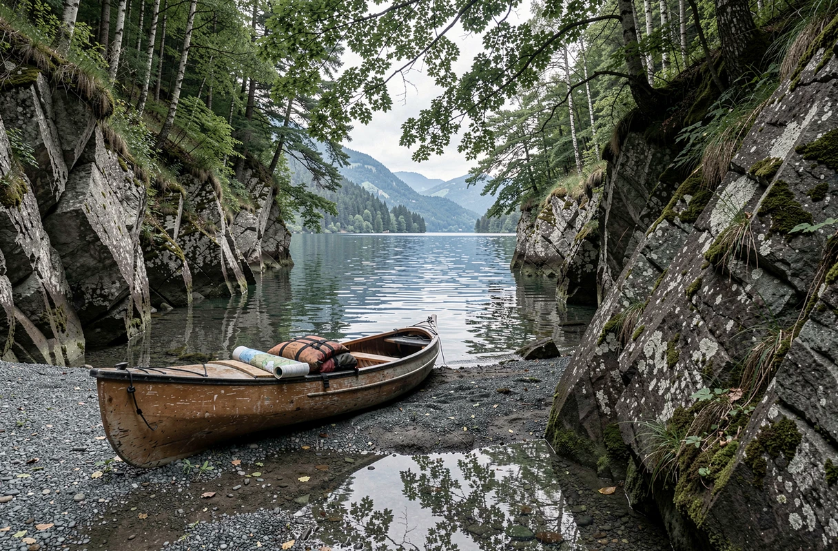
The waterway remains the most reliable means to reach the most remote coves on the west bank. Several rocky nooks between Conjux and the foot of the Dent du Chat have no land trail. Only a boat, kayak, or paddle can allow you to land there.
The Conjux area is home to flat rocks that serve as natural platforms to lay a towel and swim in particularly clear water. Further south, the cliffs hide corners where the depth increases quickly, making them swimming spots for confident swimmers.
Here are some tips for choosing your water access mode:
- The paddle is suitable for coves close to launch points (less than two kilometers), in calm weather and without a north wind.
- The kayak offers more stability and range, suitable for explorations of several kilometers along the west bank.
- The motorboat allows for quick access to the most distant areas but requires respecting speed limit zones near the shores.
The wind can pick up quickly on Bourget Lake, especially in the afternoon. Leaving early in the morning ensures more stable conditions and often clearer water before the traffic stirs up the bottom.
Snorkeling at Cap des Séselets: observing beneath the surface
The coves of Bourget Lake are not just about swimming. Cap des Séselets is recognized as a snorkeling spot on the lake, a use that traditional tourist guides rarely mention.
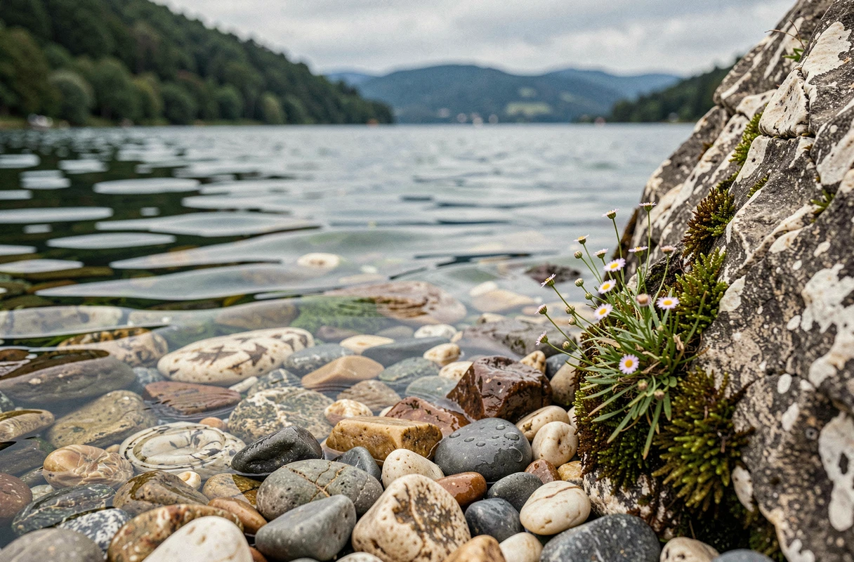
The lake’s water, which improves in quality year after year thanks to the efforts of the municipalities of Aix-les-Bains and Chambéry, offers visibility that allows for observing the rocky bottoms at shallow depths. There are submerged blocks colonized by algae, schools of freshwater fish, and, in places, rock formations that create small underwater canyons.
Snorkeling at Bourget Lake does not require specialized equipment: a mask, snorkel, and a light wetsuit are sufficient, as the water remains cool even in mid-summer below one meter in depth.
Reaching the coves of Bourget Lake by soft mobility
Access to the shores of the lake is evolving with the development of cycling routes. The Belle Via, a bike link from Chambéry, allows you to reach the lake’s edges without a car. Combined with an inflatable kayak or a paddle transported in a bike trailer, this approach opens access to the coves without going through the crowded parking lots on the east bank during peak season.
Parking remains a point of friction for the coves on the west bank. The few available spots along the balcony road fill up quickly in July and August. Arriving by bike or parking further back in the villages (Conjux, Saint-Pierre-de-Curtille) and then walking remains the most realistic strategy.
- From Chambéry, the Belle Via reaches the south of the lake following a route without car traffic.
- From Aix-les-Bains, bike paths run along the east bank to Bourget-du-Lac, from where a boat crossing leads to the west bank.
- An electric bike compensates for the elevation changes between the balcony road and the launch points.
The wild coves of Bourget Lake do not appear on any official list of monitored beaches. This lack of signage is part of their appeal but also implies complete autonomy: no lifeguard station, no buoy, no phone signal in some sections of the west bank. Every trip to these coves should be prepared like a small aquatic hike, with drinking water, shoes suitable for pebbles, and a time buffer for the return.